I had been planning to visit the Juminda peninsula for some time, but I just couldn’t make it sooner. The day before, quite a significant layer of snow fell in Northern Estonia, which is why this spectacle had to be photographed. This time I decided upon Juminda peninsula.
I started my journey at 9:30 and was back around 16:00, so the length of the hiking day was 6.5 hours.
Before I start with the travel description, I will add here information about the food and drink I take with me on my travels. It depends, of course, on the trip and the season. First, of course, the beverage. In summer I take water and lemonade, in winter hot tea. For a meal, I usually bring some ready-made food from the store. I warm it up in the microwave beforehand and then put it in the food thermos. I always have a couple of muesli bars in my bag that I nibble on sometimes. In cold weather, of course, the trouble is that the muesli bars become hard like rocks in the bag, because with the cold, both the chocolate and everything else inside it hardens.
So on this trip I had two thermoses with hot tea (one attached to the photo bag, the other in the car for later), muesli bars and a heated ready meal in a food thermos. The food thermos remained in the car this time. It all depends, of course, on my journey and the weather. In case of a longer walk, one must take more things along and leave less things in the car.
But now back to my winter photo trip to the Juminda Peninsula.
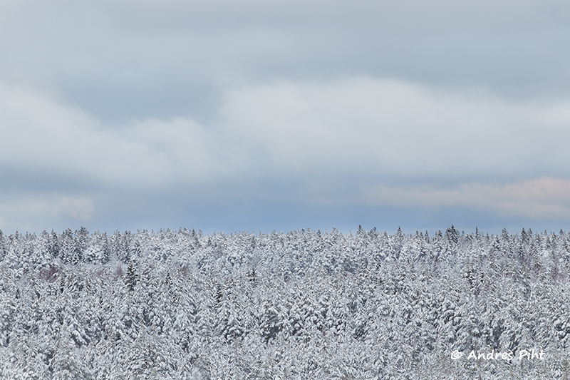
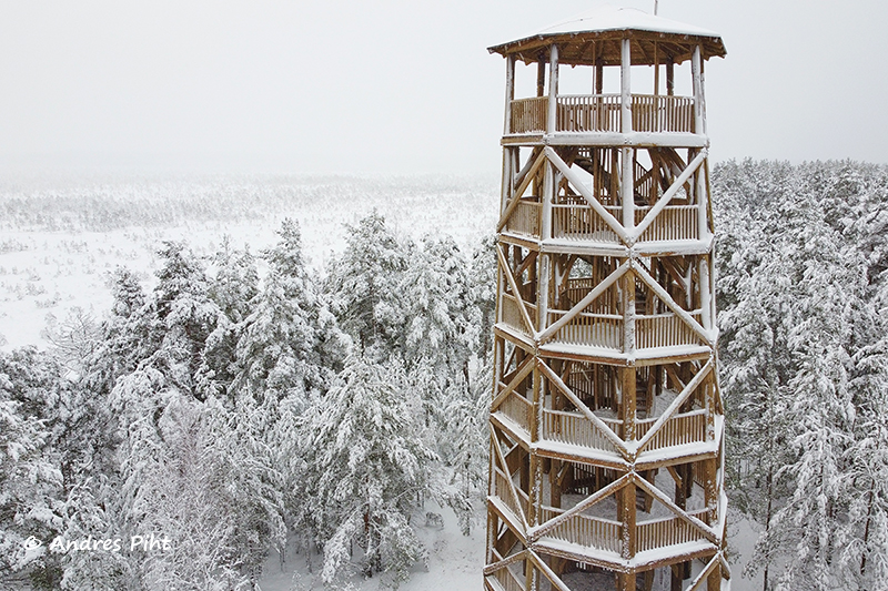
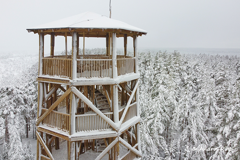
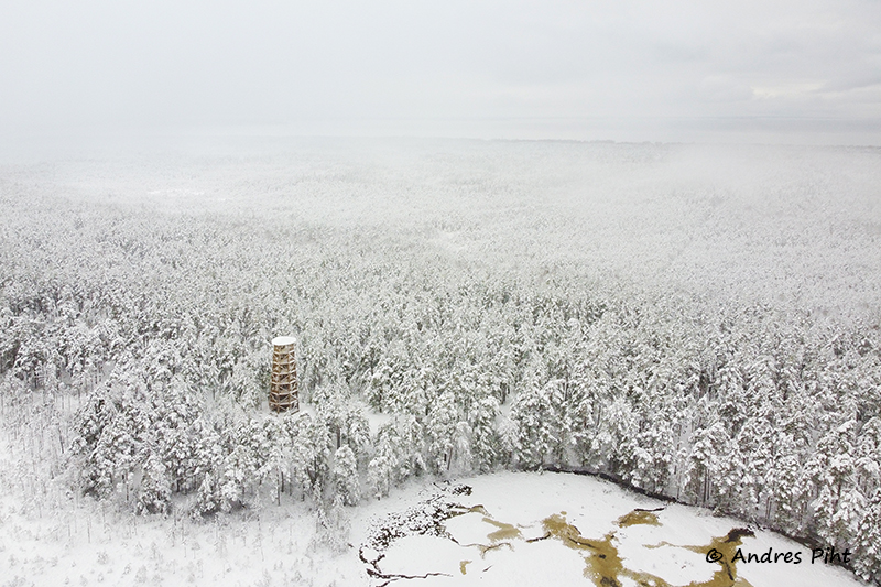
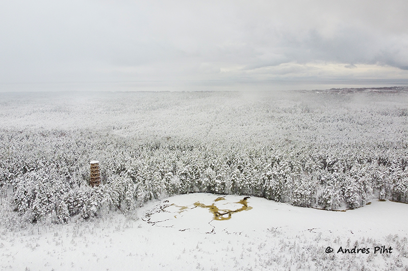
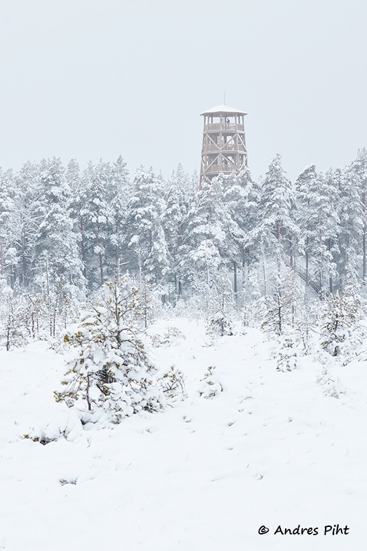
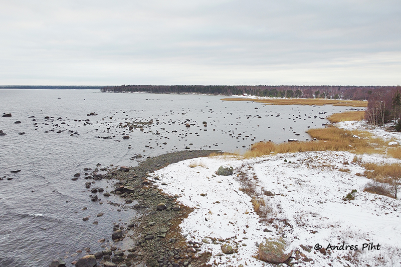
The drive started at 09:30 and the first destination was the observation tower in Hara village, which is located on the Majakivi-Pikanõmme hiking trail. It often happens in winter that one doesn’t know what the road conditions are and how close one can get by car to all the destinations. But this time I had luck. There were no problems with the roads, although at the top of the Juminda peninsula the roads were especially icy. But even the forest roads were passable this time. This may be due to the fact that more people currently travel in the Estonian nature.
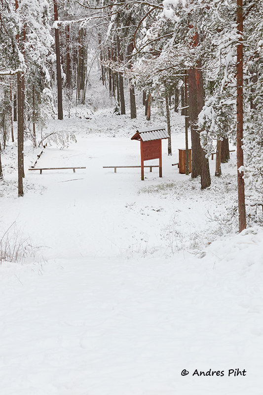
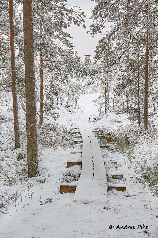
When I arrived, I took things from the car and went to the hiking trail. I didn’t need to go very far to reach the lookout tower, maybe only 200 meters.
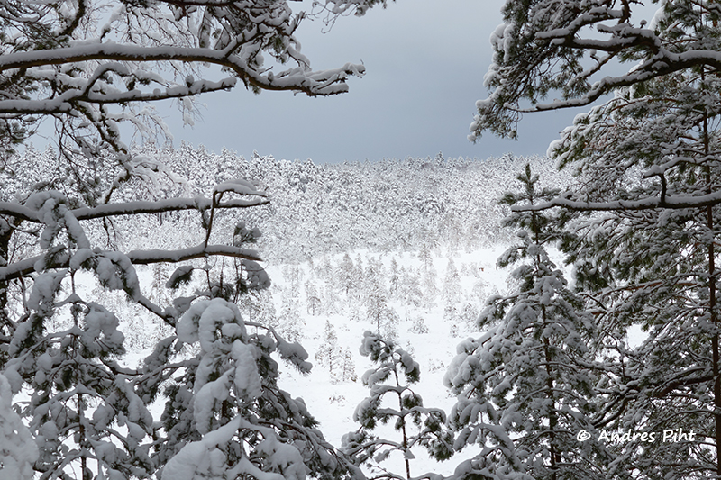
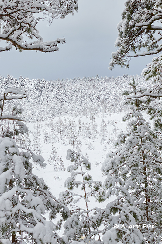
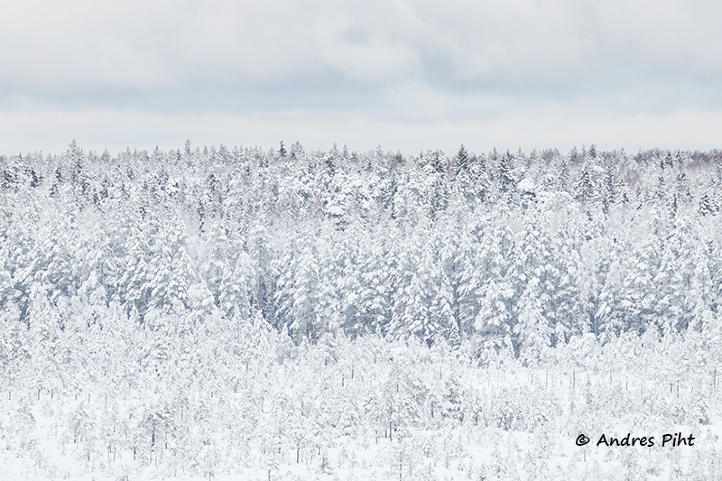
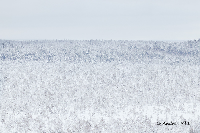
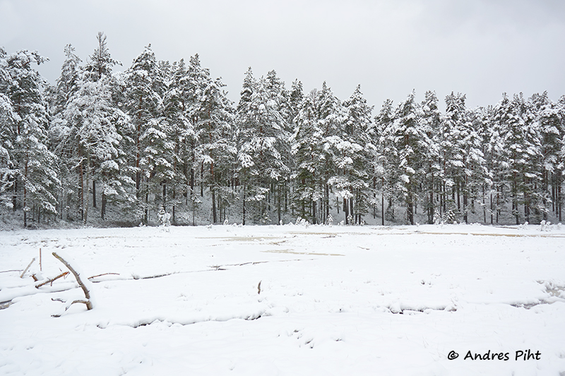
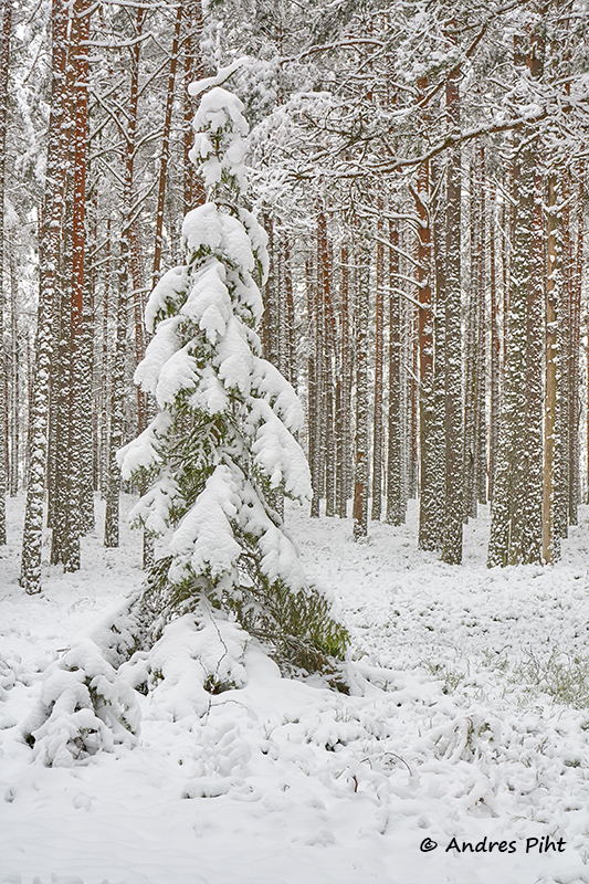
Before I climbed the lookout tower, I took some pictures from the ground.
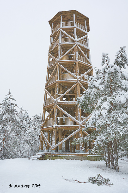
Then I climbed to the top of the lookout tower. Pleasantly high lookout tower. I was there quite alone and was able to take my pictures undisturbed.
Getting down from the lookout tower was somewhat difficult, as the stairs were snowy and at some places icy. That’s why, for safety reasons, I decided to put ice soles on my boots. It was much more comfortable to go down the stairs with them.
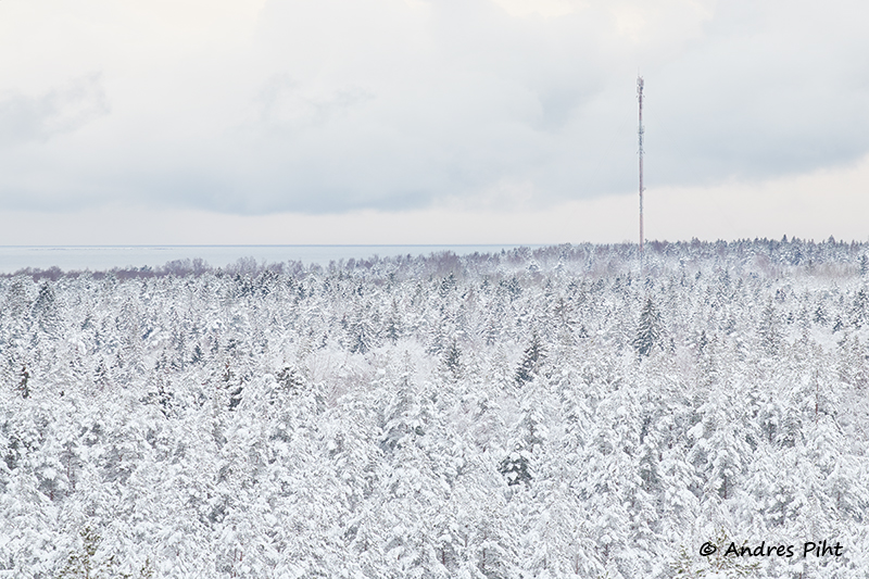
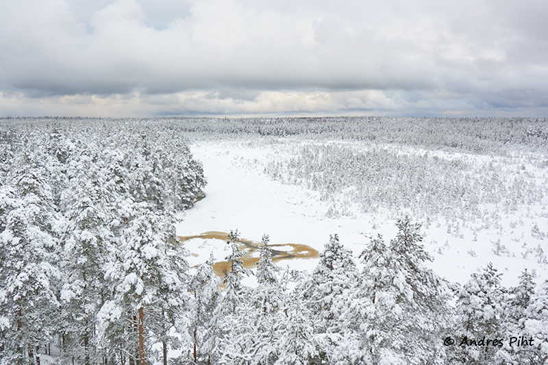
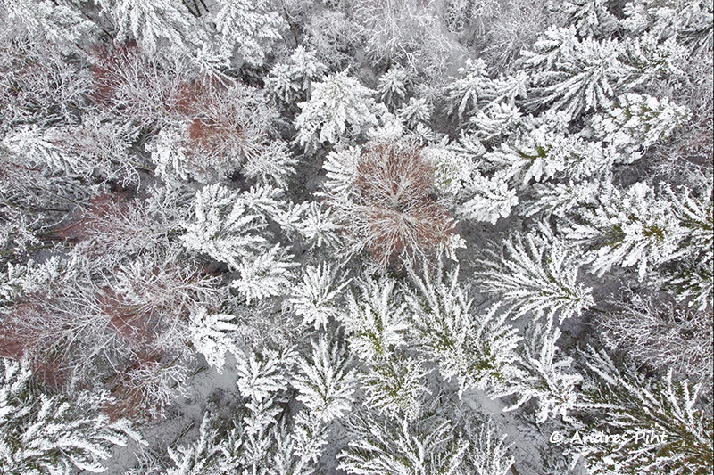
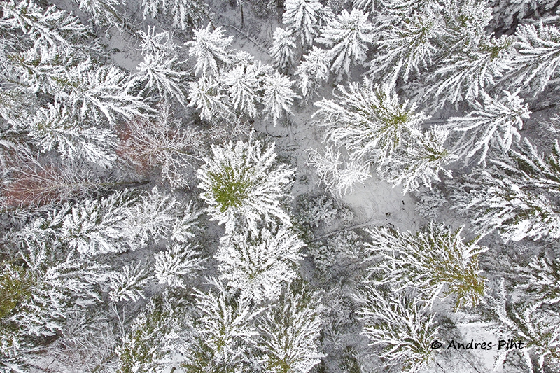
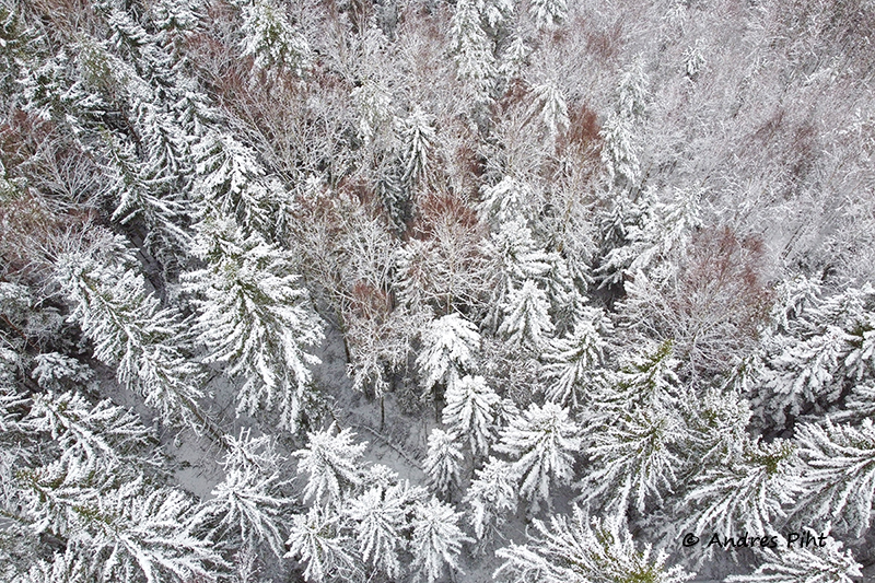
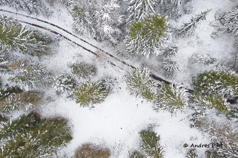
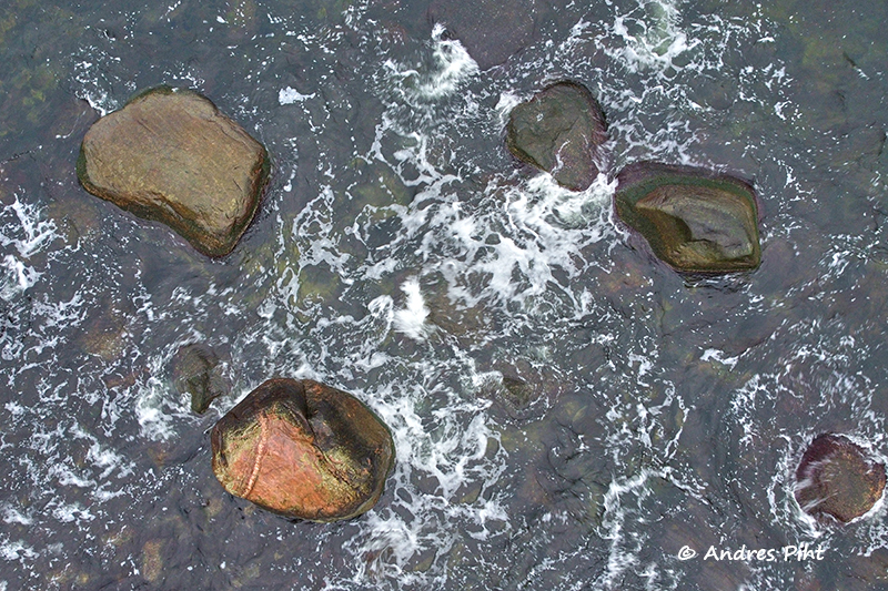
It was already visible from the lookout tower that snow clouds were getting closer, so I had to hurry to fly the drone. But when the drone was ready, it was already snowing. But I didn’t cancel the flight and the drone did its job.
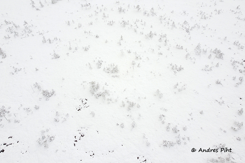
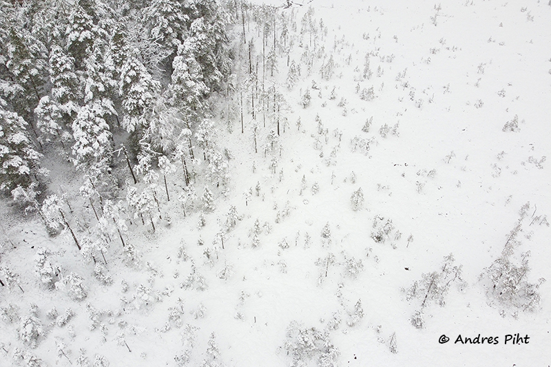
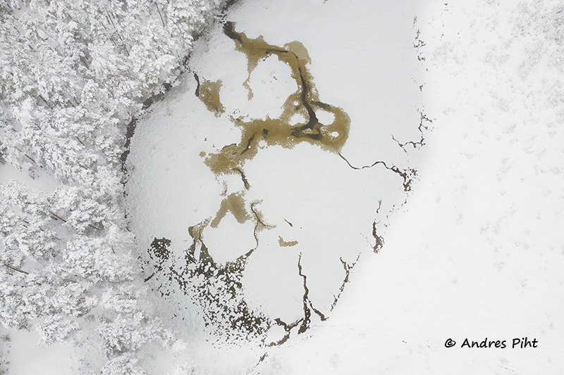
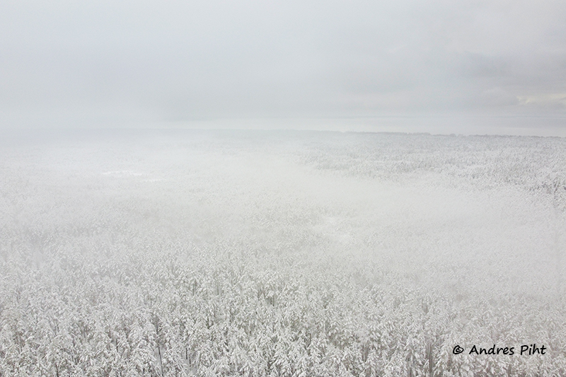
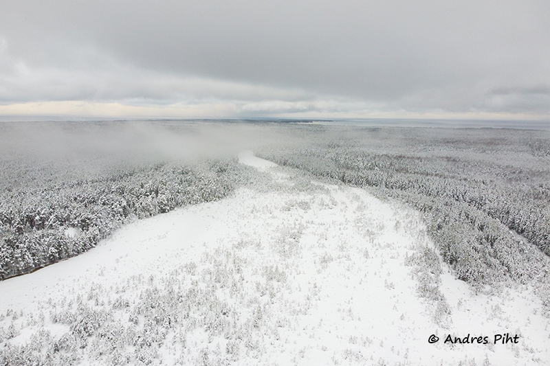
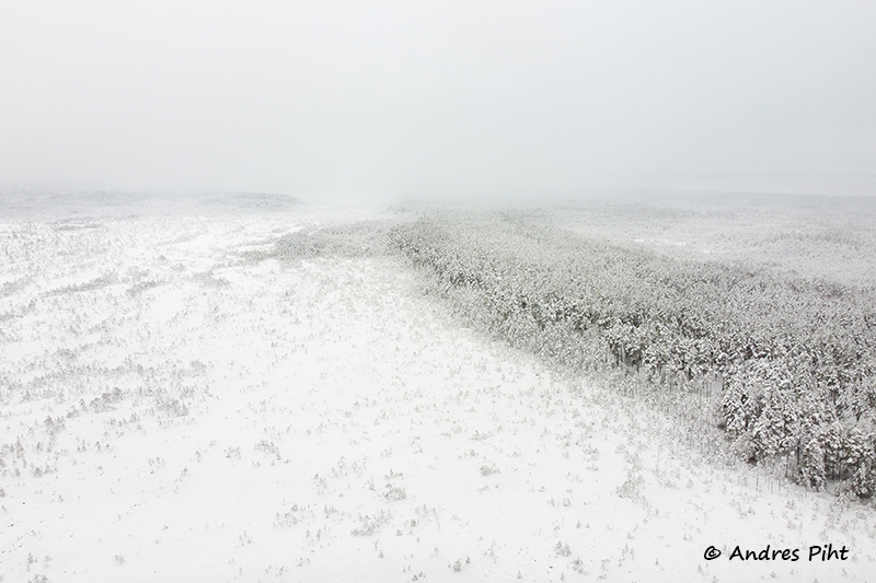
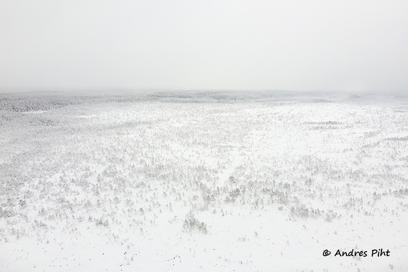
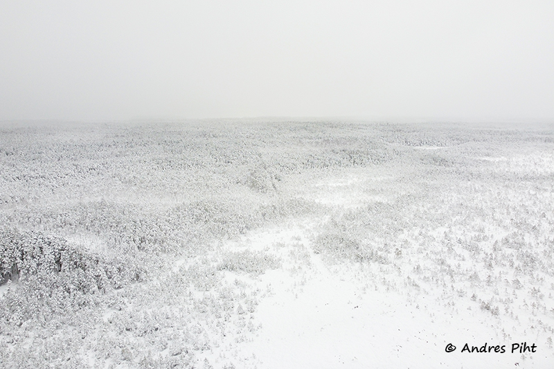
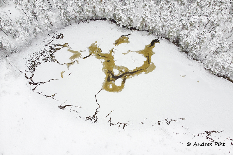
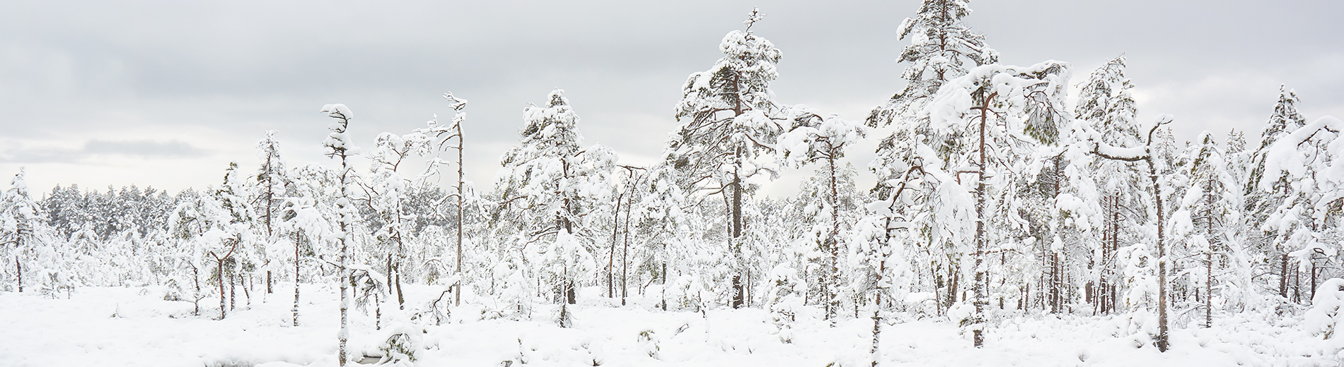
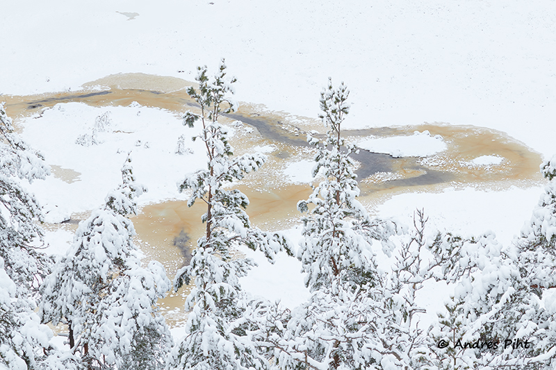
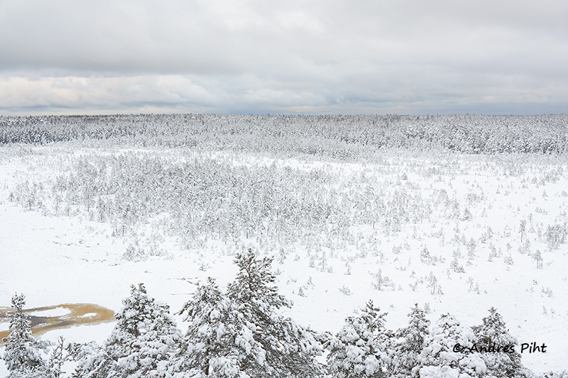
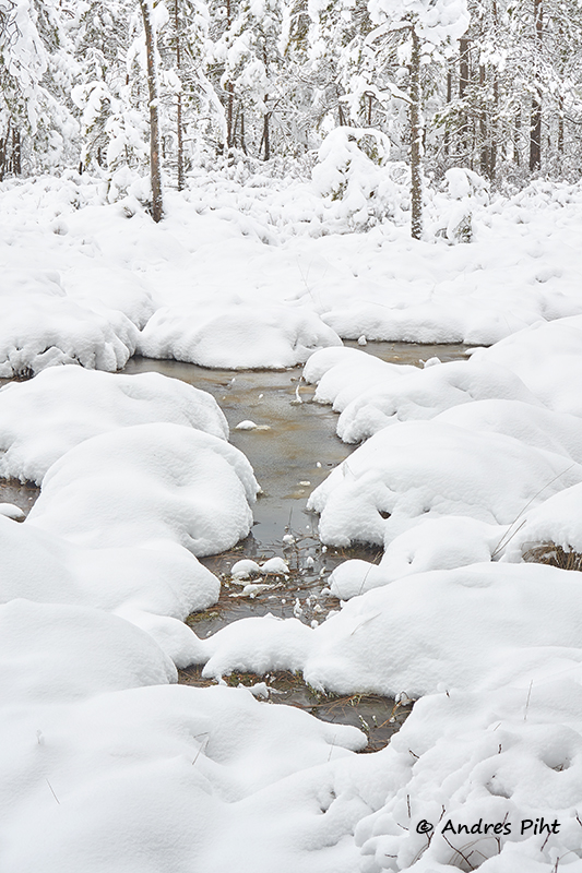
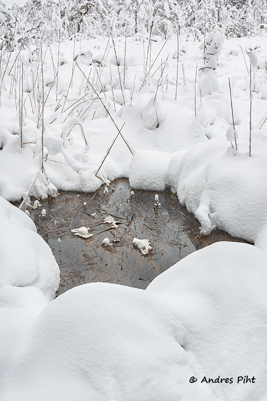
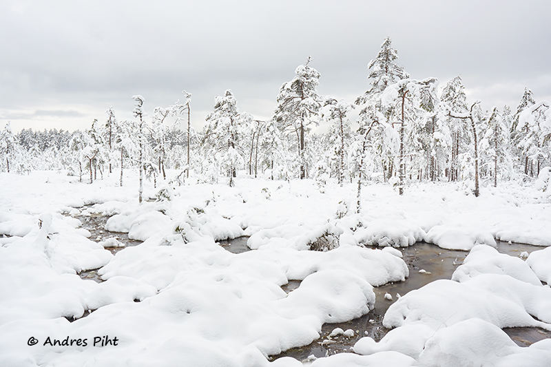
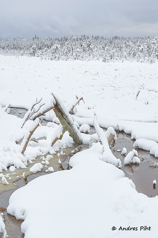
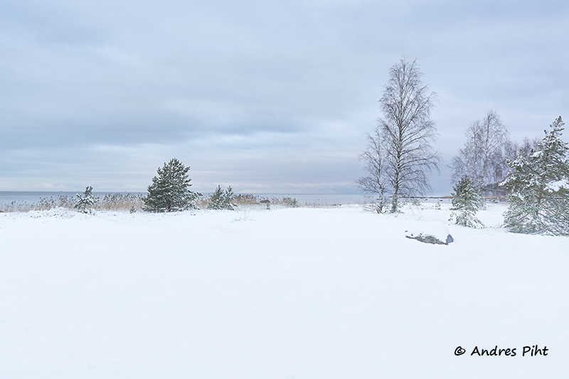
Now it was time to go to the bog. To do this, I had descend a very long staircase. There were no pools visible in this bog, but the view was beautiful nonetheless. It had stopped snowing.
Now more people started coming there. They mainly came from the direction of Majakivi.
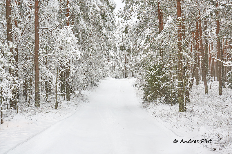
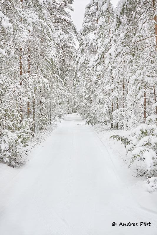
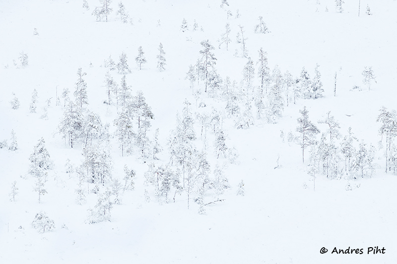
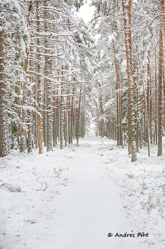
When the pictures had been taken in the bog, I went along the hiking trail, but I did not plan to go to Majakivi. I’d been there before, and there was plenty of walking still ahead that day. In addition, road conditions had to be taken into account, which simply did not allow me to reach the destination as quickly as usual.
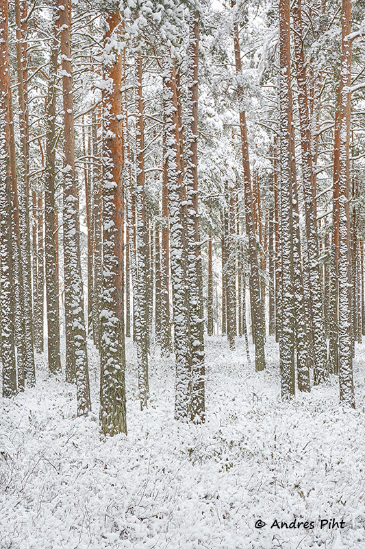
So I walked a little more in the woods, taking pictures from time to time. More and more people came, all moving towards the lookout tower.
I walked on the forest road for about half an hour, after which I had to start getting back to the car.
The next destination was the peak of the Juminda peninsula (Koljuots). As I wrote earlier, it was a slow drive. The road was very slippery and also winding. But I got there.
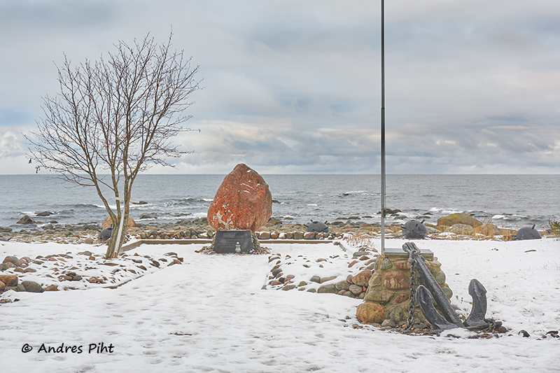
I parked my car in the parking lot at the top of the peninsula and went to the sea. First, I took pictures of the Juminda mine battle memorial.
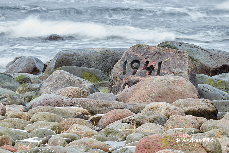
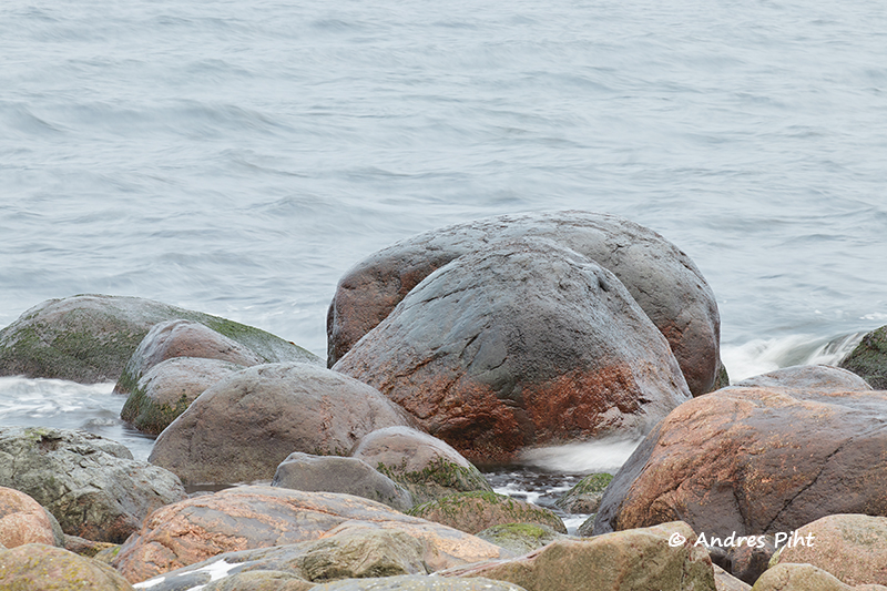
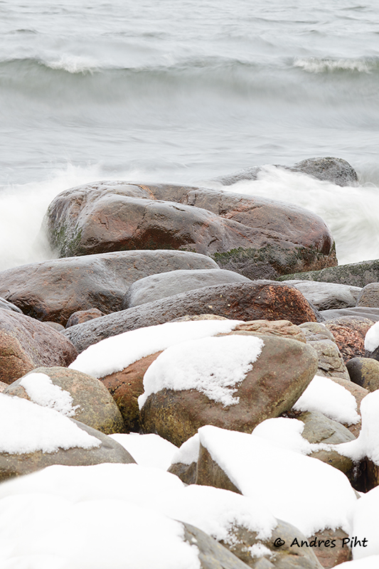
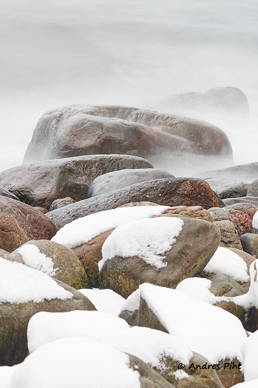
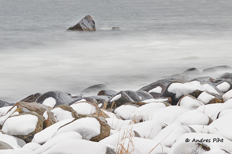
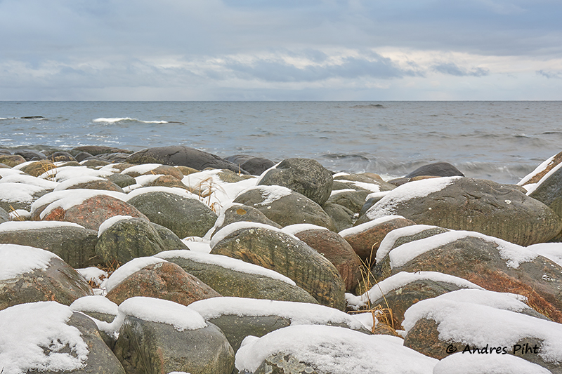
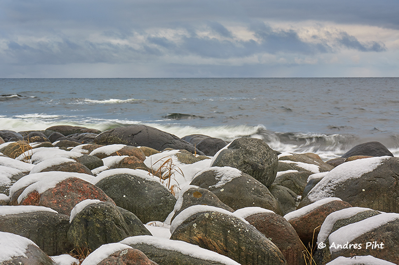
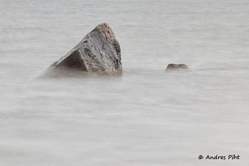
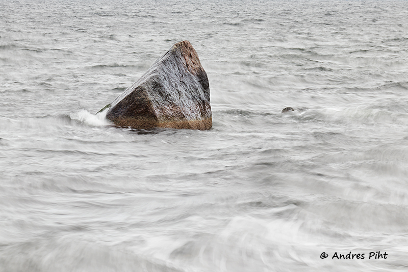
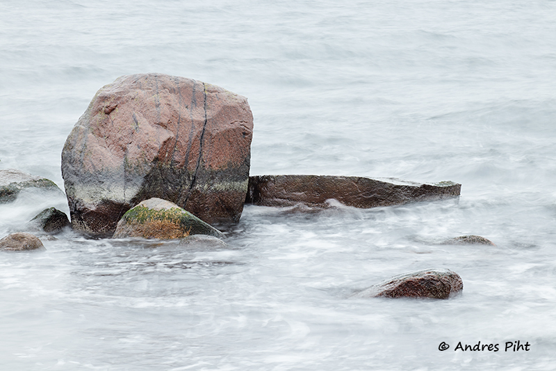
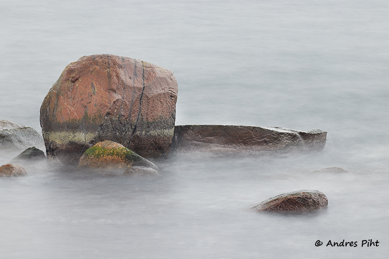
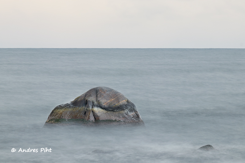
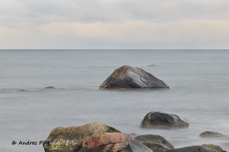
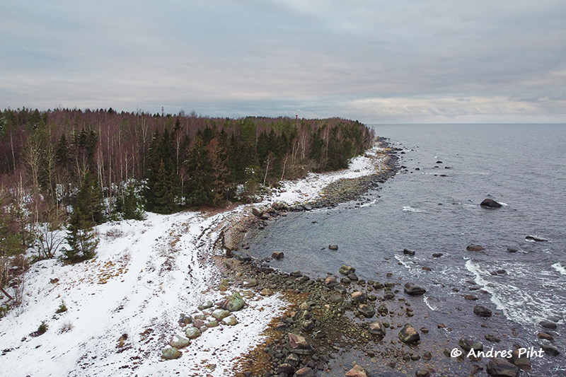
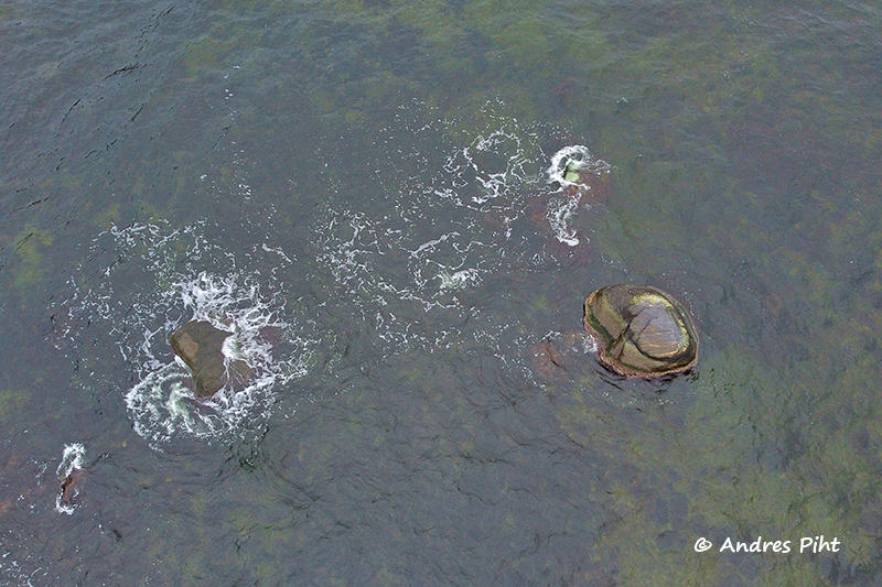
I then walked toward the Juminda lighthouse, but along the coast. The wind was not very strong that day, but the sea was nonetheless quite powerfully wavy at times.
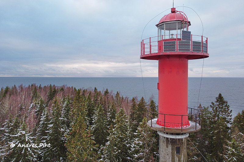
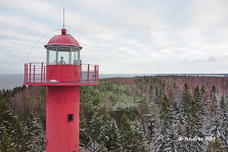
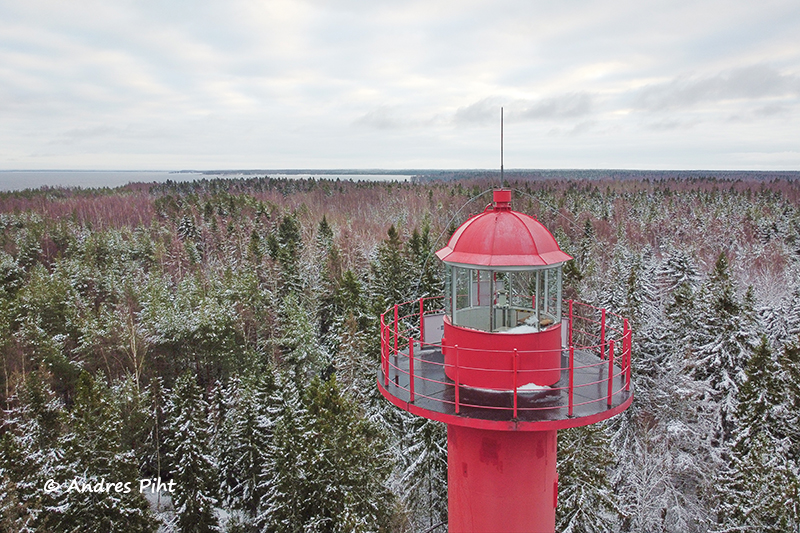
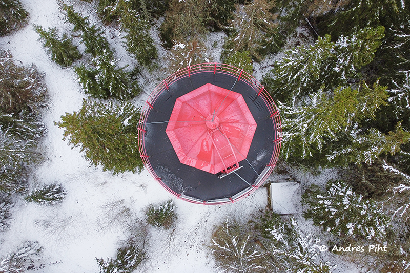
I approached the lighthouse. At the lighthouse, I only wanted to take pictures with a drone.
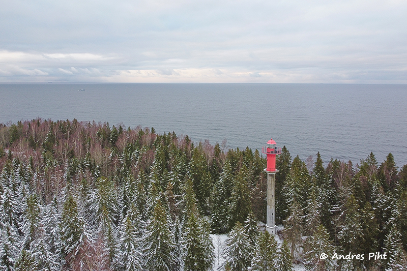
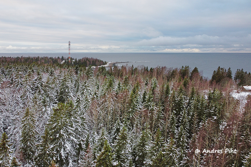
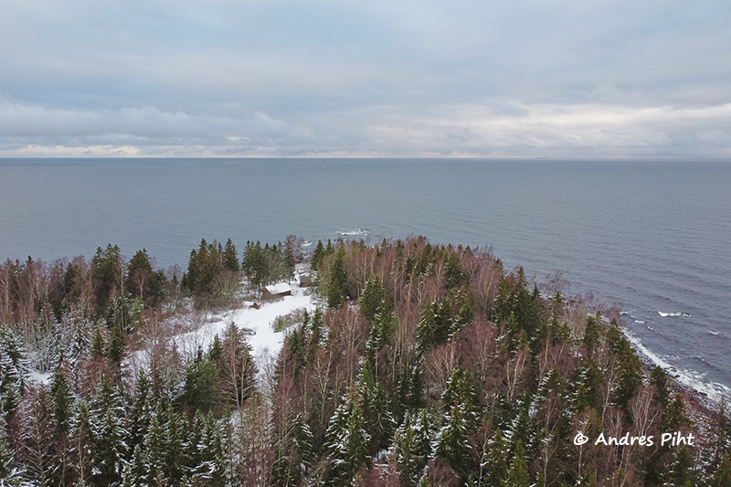
When the pictures with the drone had been taken, I walked along the forest road to reach one of the coastal sections, which I had sought out for myself while doing preliminary work and studying the maps.
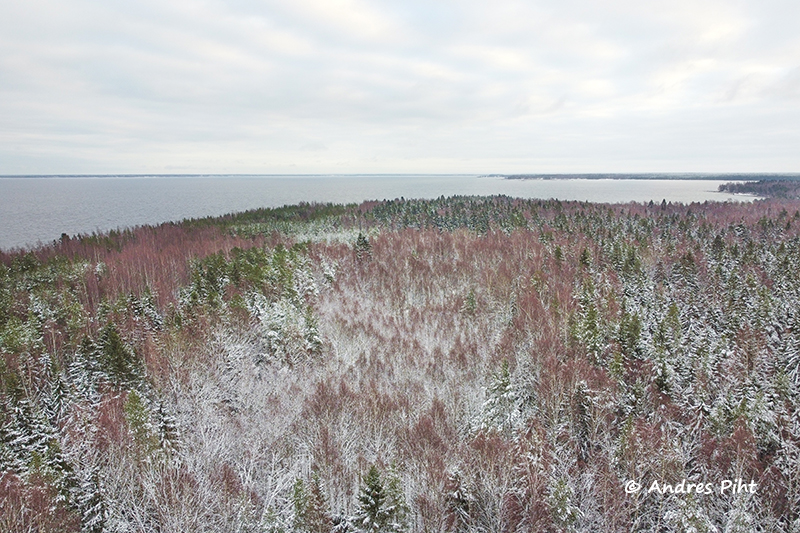
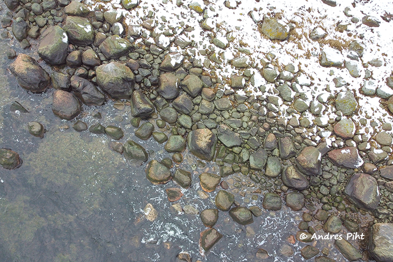
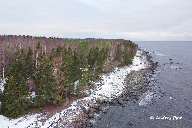
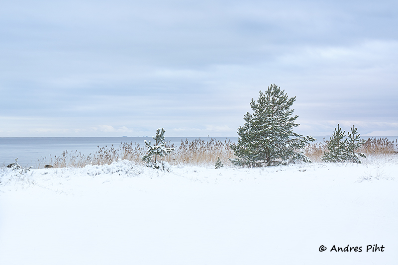
There was significantly less snow at the end of the Juminda peninsula than elsewhere in this area. It must have been due to the wind.
I reached the selected place at the sea. I took pictures both from the ground and from the air.
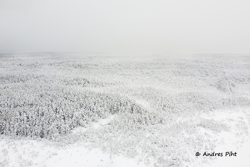
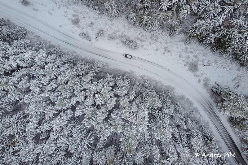
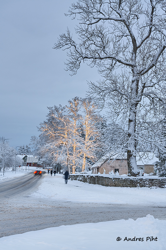
It was getting dark. Now it was time to walk back to the car and then take a short meal break. When my stomach was full, I set off toward home. I took pictures on the way, too. On one section of the road, I stopped the car and flew the drone again. I took the pictures straight down so that the car would be in the picture as well.
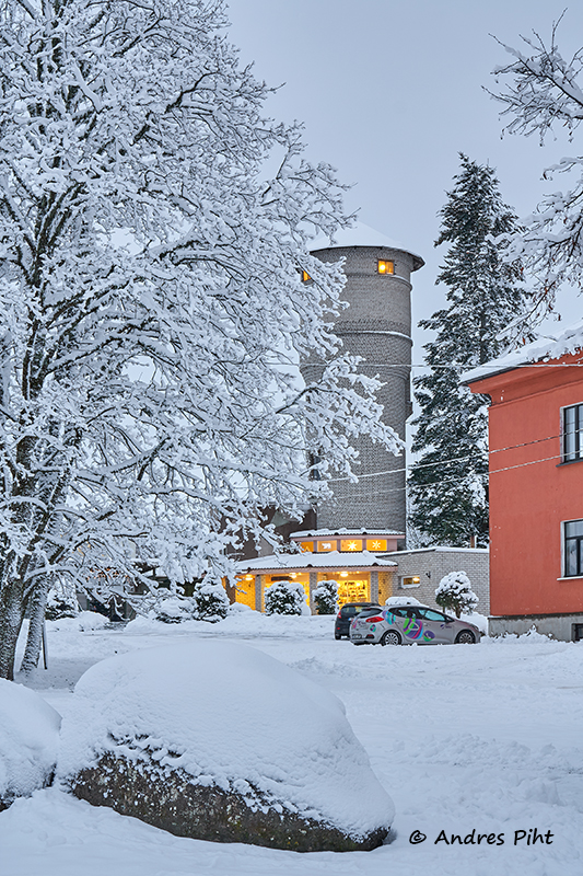
Now the slow return trip began. I once stopped at Kolga-Aabla, where I took a few pictures viewing the sea.
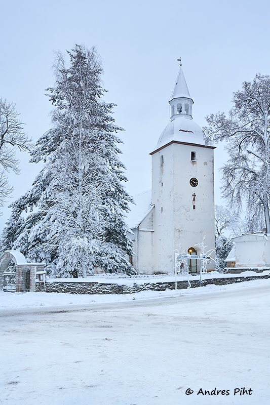
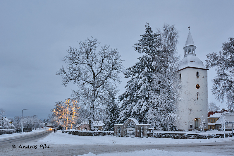
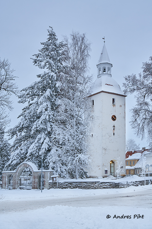
I continued driving. The closer to the Tallinn-Narva highway, the better the road conditions were. Before going on the big highway, I stopped by the Kuusalu church. I also took some pictures there.
And now there was the way home, which went smoothly and quite quickly. Strangely, there were no traffic jams in Tallinn.
- Facebook: https://www.facebook.com/MinuFotoretked
- Instagram: https://www.instagram.com/andres_piht_photography/
1 thought on “Juminda peninsula”
Comments are closed.