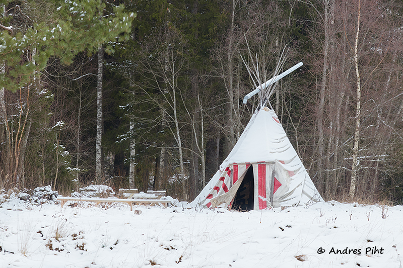
The photo trip to Metsanurme was a little different than my usual photo trips. In other words, it was relatively short in time, about an hour and a half on site, in addition to the driving time.
I went to the Metsanurme-Üksnurme history and nature study trail. I didn’t go the whole way, but only a small part of it. The trail is 9.5 km long, but I covered a section of about 2 km.
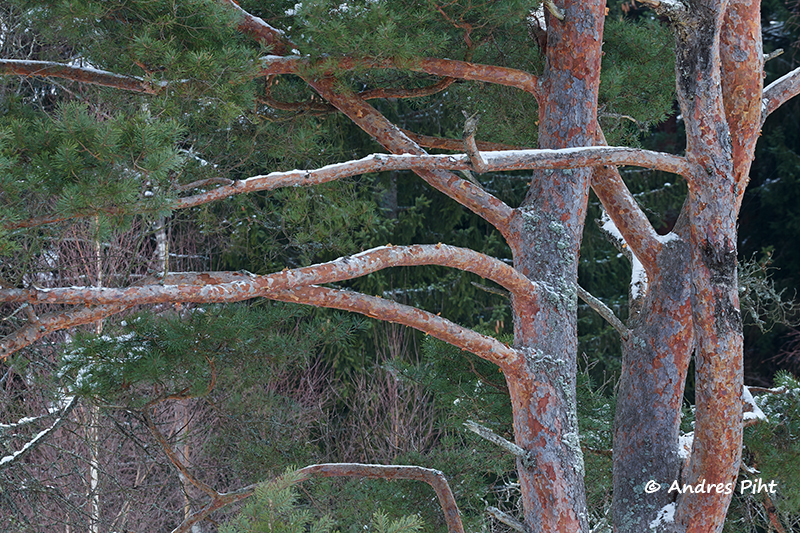
I had been on this hiking trail before, but then in the summer months. Now I got the idea to go there when the ground was covered with snow. So I took everything I needed with me, checked to see if the drone could be flown there, and set off.
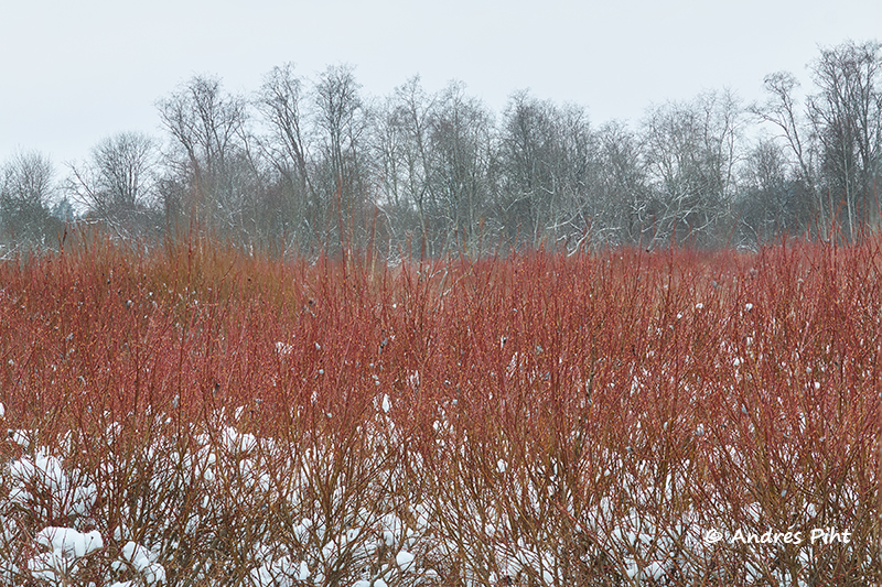
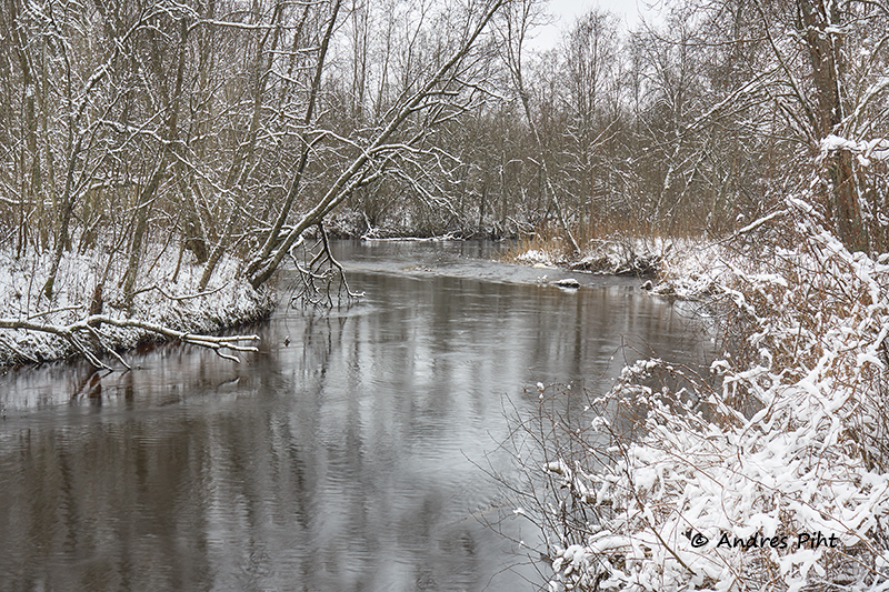
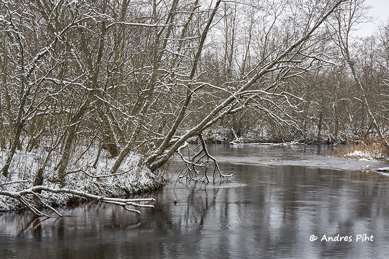
The journey from Tallinn there did not take long, i.e. about 30 minutes. I parked the car and started to walk. Unfortunately, the weather was not special at all. As always, it was cloudy and foggy. Fortunately, there were some minus degrees, so the ground was frozen.
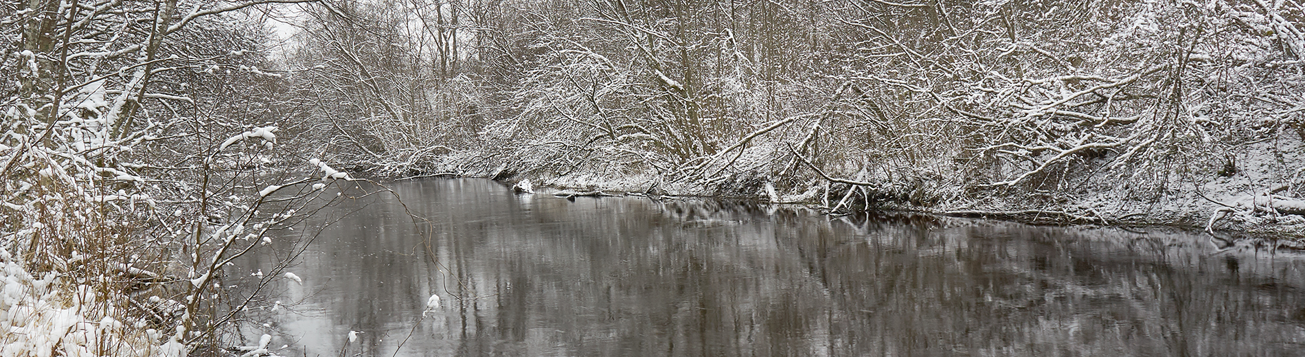
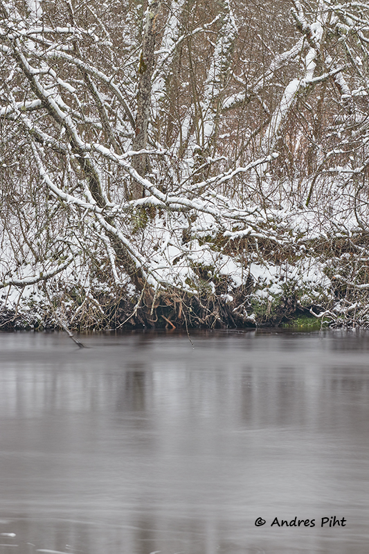
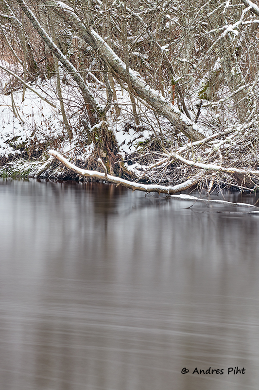
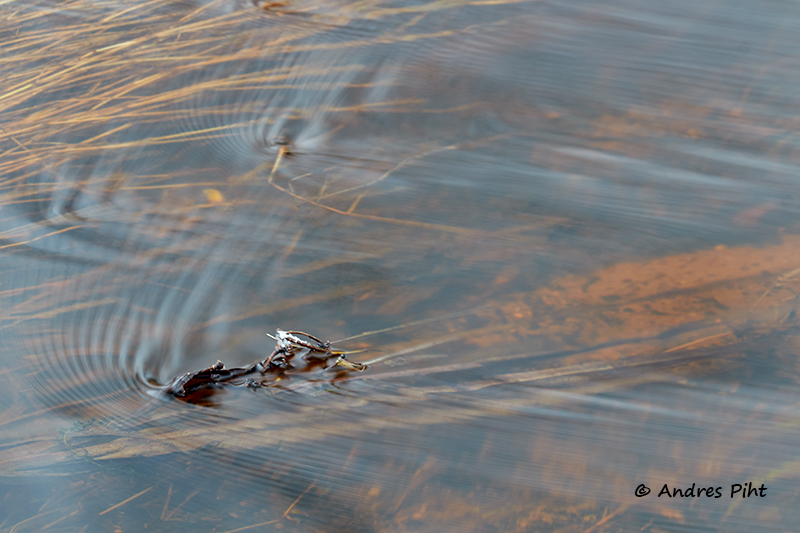
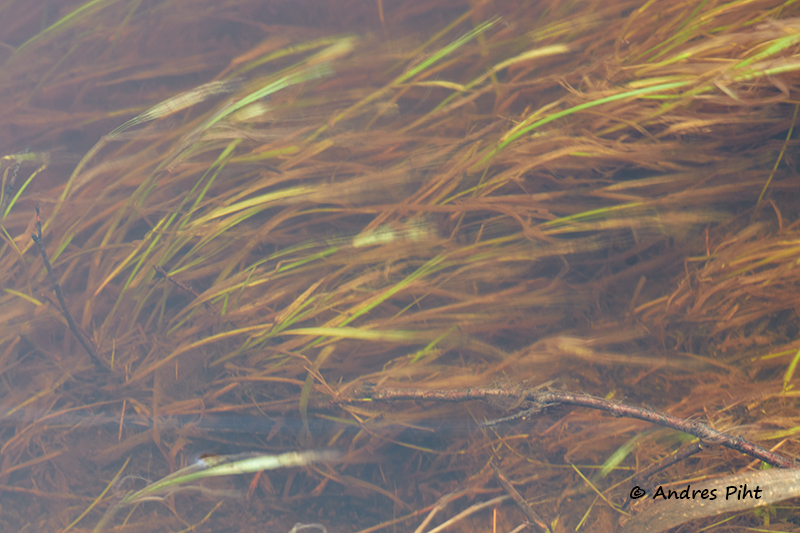
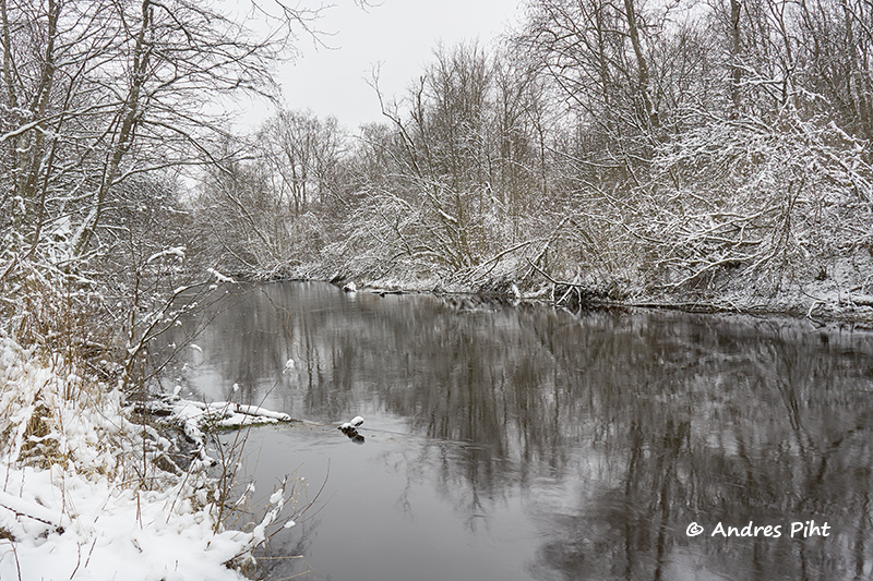
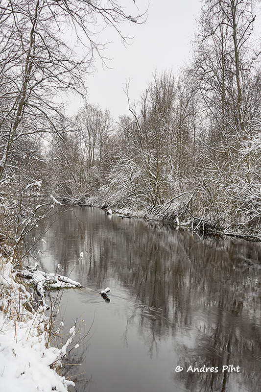
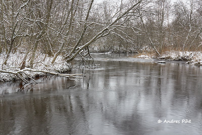
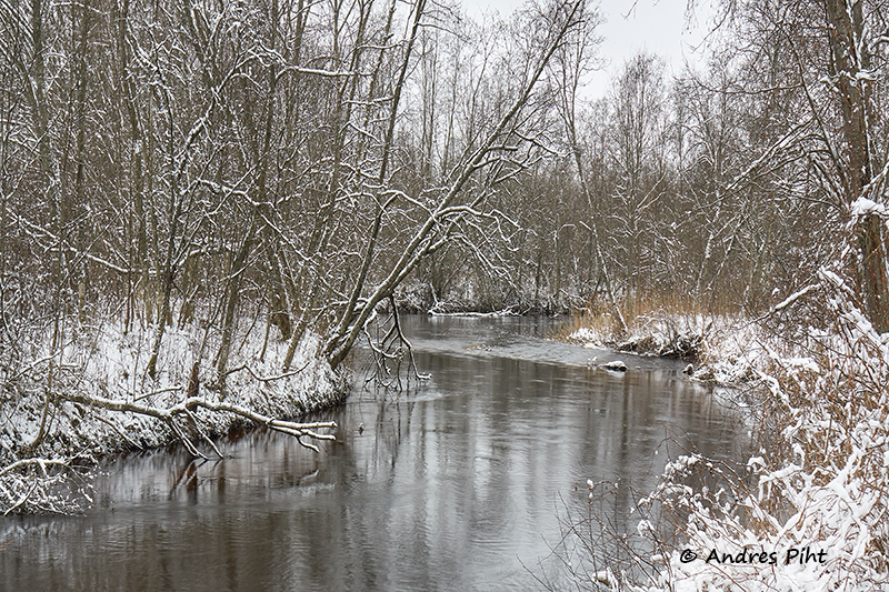
The plan was to walk along the river bank and look for places to take pictures of. The Keila River, which passes through this hiking trail, meanders quite a lot there (as can be seen from the drone photos at this post). It was not easy to find places to take pictures of the river. The banks are bushy there, but I still found some places.
When the pictures had been taken with a camera, I also took pictures with a drone. The drone flew twice that day, to slightly different places.
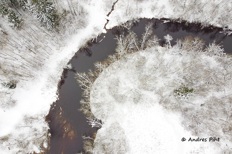
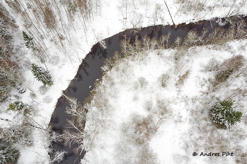
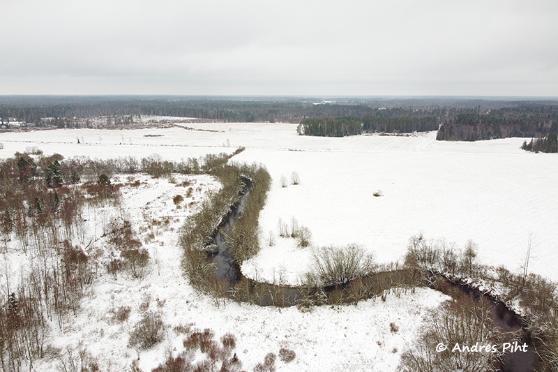
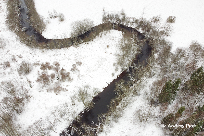
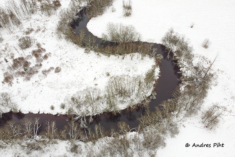
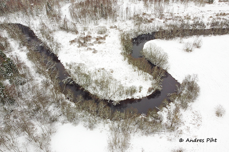
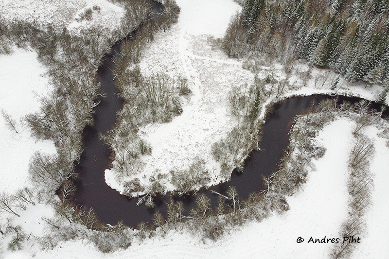
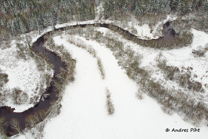
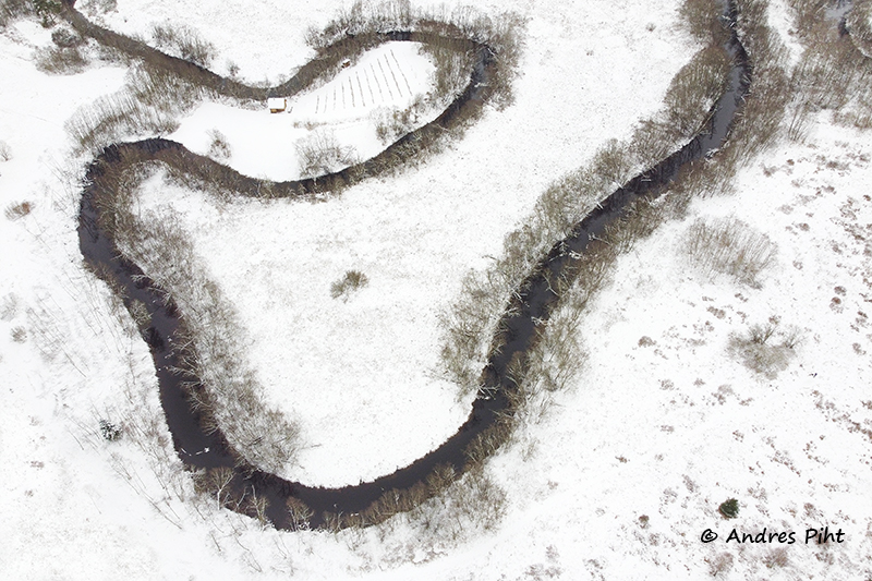
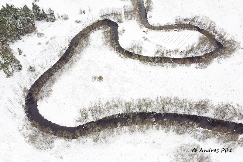
As I wrote earlier, it was a short hike. The weather was cloudy and the colours were boring. But I got some pictures and with the drone I captured interesting patterns of the Keila River. I could be satisfied with the mini trip, because I got my photo catch.
- Facebook: https://www.facebook.com/MinuFotoretked
- Instagram: https://www.instagram.com/andres_piht_photography/
1 thought on “Metsanurme and Keila river”
Comments are closed.