This trip wasn’t really intended for photographing, but exploring a few new possible shooting locations. In other words, I had looked up some interesting places on maps that could be photographed in suitable weather, and now I wanted to look at the reality.
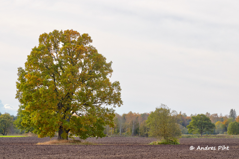
There were a few trees of interest that would not leave very significant objects in the background (houses, forest, etc.). I had selected four trees for myself from the map, and I went by them all.
But in order to still have something to take pictures of, I added Vahiküla waterfall and Keila church.
The exact places where I found the right trees for me, I’ll keep to myself – the secret of photographers.
So there were 6 places I visited on this trip: 4 trees, Vahiküla waterfall and Keila church.
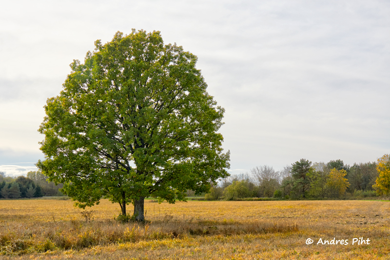
For starters, I checked out the first tree. Getting there was a bit difficult, because the road had been made quite muddy by tractors. When I arrived, it turned out that the tree, which I considered the most beautiful when viewed from the map, had fallen down.
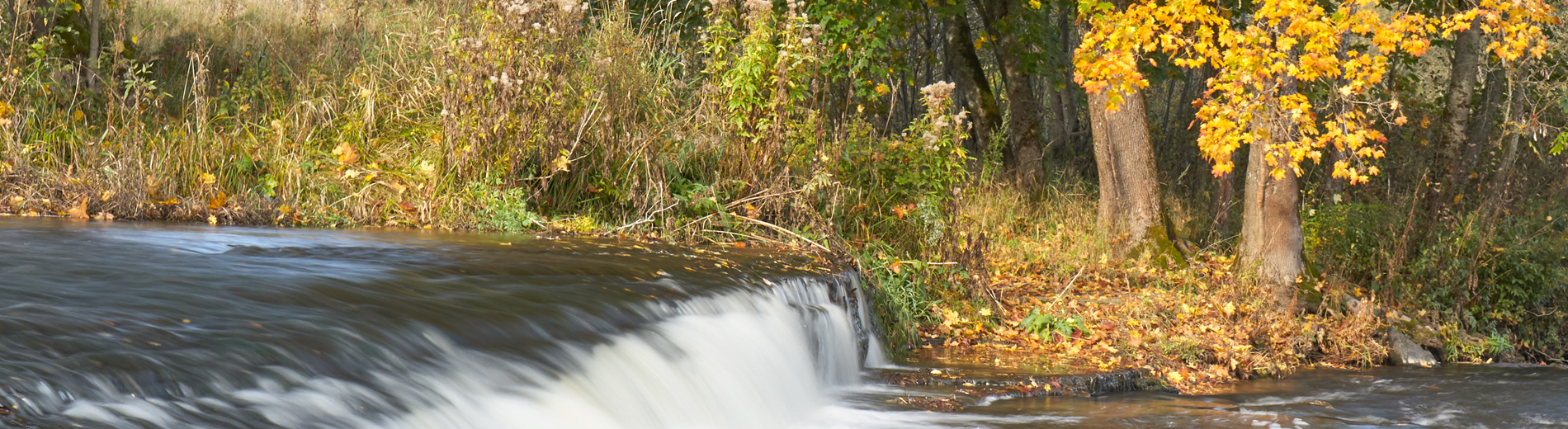
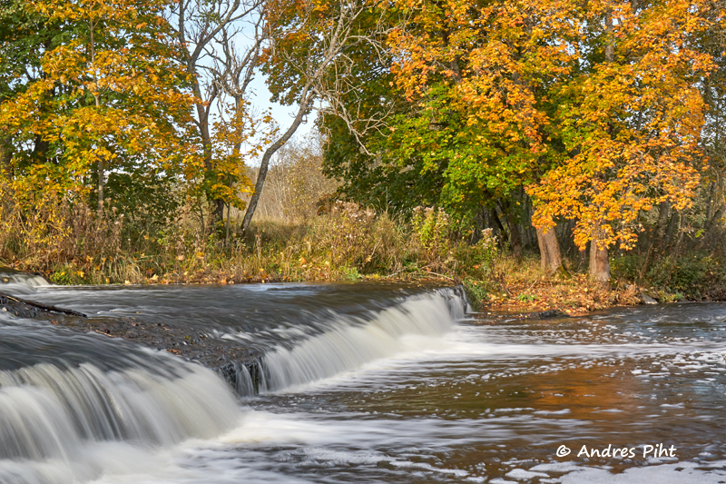
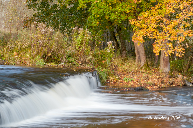
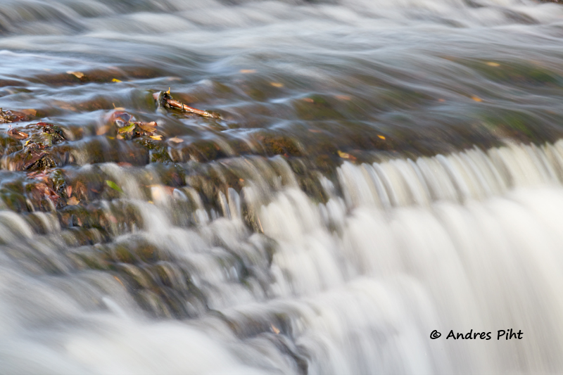
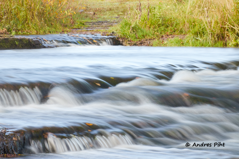
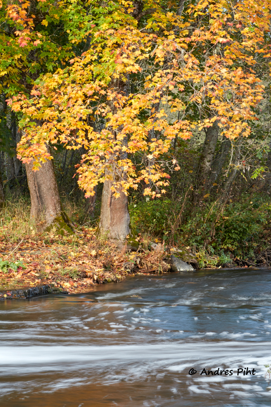
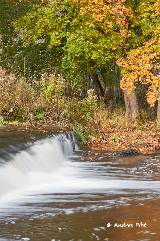
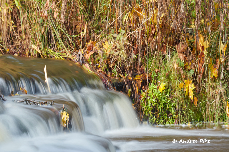
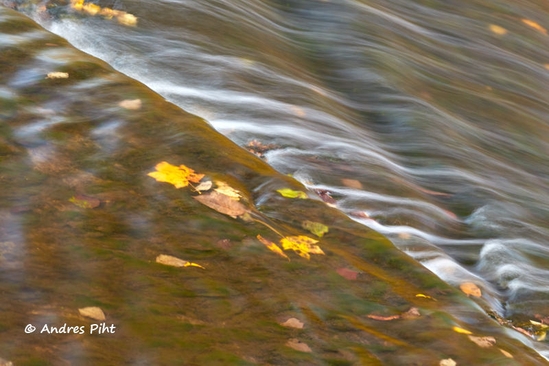
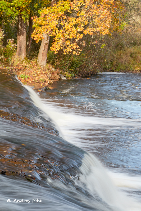
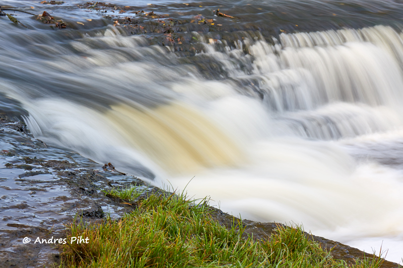
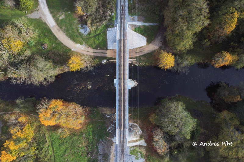
The first tree visited, I went to the Vahiküla waterfall to take pictures. There was enough water, so there was plenty of water play.
When the pictures had been taken in Vahiküla, I moved on to the next 3 different places, where I was hoping to find some special tree. Two of the three turned out to be very good places, which I definitely plan to visit in the future.
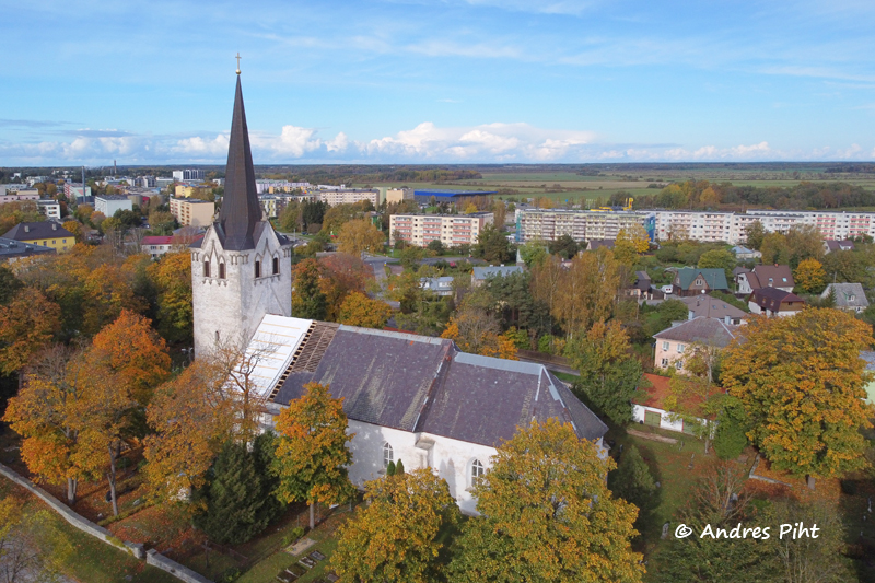
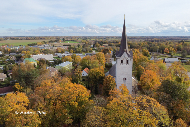
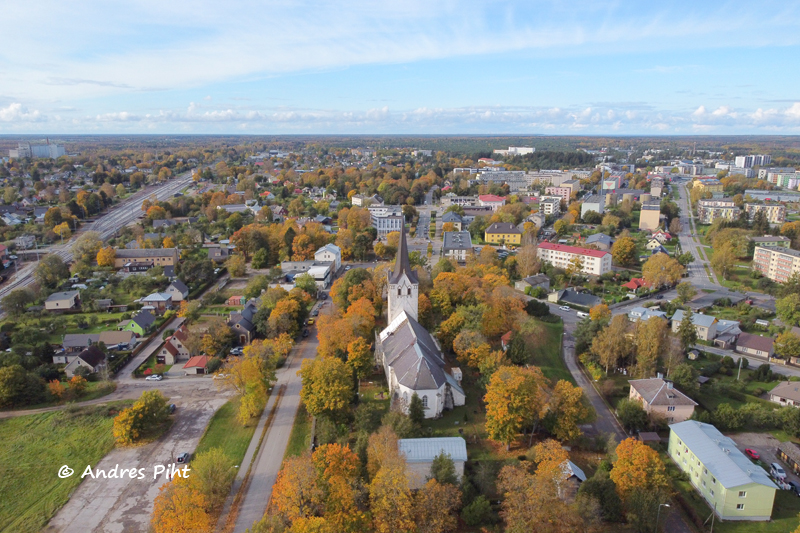
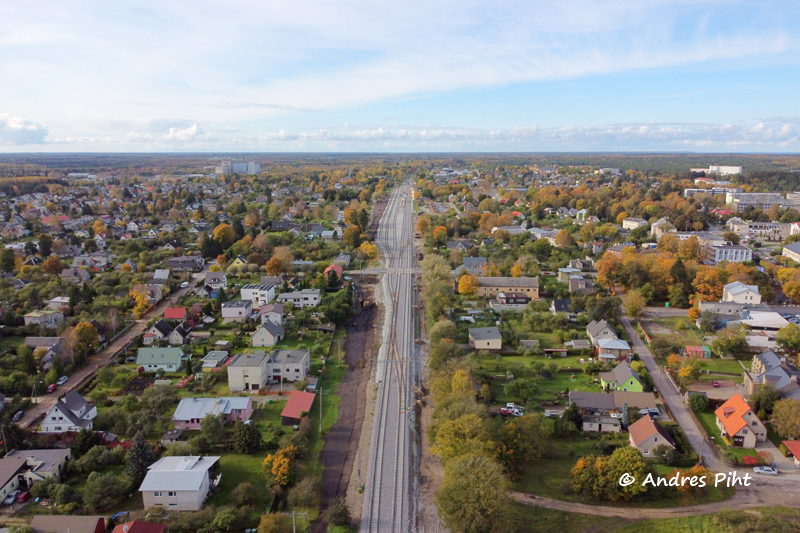
When the trees were inspected, Keila was still left. In Keila, I wanted to take pictures of the church with a drone. Keila Church is out of the restricted area, so I was able to take pictures there without permission. In the rest of Keila, a permit must be applied for from the Civil Aviation Administration and then, confirmation from the Ämari air base must be obtained before starting the flight.
- Facebook: https://www.facebook.com/MinuFotoretked
- Instagram: https://www.instagram.com/andres_piht_photography/
1 thought on “Vahiküla and Keila”
Comments are closed.